


The best hiking routes in Polder Westzaan
Discover the best walks in Polder Westzaan. 14 routes on the map, with descriptions, photos and GPX.
Managed by Staatsbosbeheer;Rijkswaterstaat;particulieren

About Polder Westzaan
Polder Westzaan is a low-lying peatland reserve characterized by a dense network of narrow ditches, reed beds, and wet hay meadows. Unlike the dry, sandy dunes further west towards the coast, this landscape is defined by water and soft, unstable ground. Walking here means navigating a mix of grassy dikes, unpaved paths, and occasional boardwalks. The terrain is entirely flat, offering no elevation changes, and the soil underfoot is clay and peat.
Read more
About Polder Westzaan
Polder Westzaan is a low-lying peatland reserve characterized by a dense network of narrow ditches, reed beds, and wet hay meadows. Unlike the dry, sandy dunes further west towards the coast, this landscape is defined by water and soft, unstable ground. Walking here means navigating a mix of grassy dikes, unpaved paths, and occasional boardwalks. The terrain is entirely flat, offering no elevation changes, and the soil underfoot is clay and peat.
Read morePolder Westzaan is a low-lying peatland reserve characterized by a dense network of narrow ditches, reed beds, and wet hay meadows. Unlike the dry, sandy dunes further west towards the coast, this landscape is defined by water and soft, unstable ground. Walking here means navigating a mix of grassy dikes, unpaved paths, and occasional boardwalks. The terrain is entirely flat, offering no elevation changes, and the soil underfoot is clay and peat.
The area is divided into distinct zones that dictate how you can explore. The southern section, around the Guisveld, consists of wet peat trembling bogs where access is highly restricted to protect breeding birds, meaning walkers must stick to designated perimeter paths or view the landscape from specific viewing points. In contrast, other parts of the polder feature historical church paths and grassy dikes that allow you to walk directly through the working agricultural fields and nature plots.
Because of the wet peat soil, many paths are rough and uneven, requiring sturdy footwear. In April and May, the meadows are kept wet to support nesting meadow birds, which limits access to certain internal paths but makes these months ideal for observing birdlife from the public dikes. If you prefer dry, solid gravel tracks or deep forest shade, this open, watery polder landscape will not suit your preferences.
Hiking routes in Polder Westzaan (14)
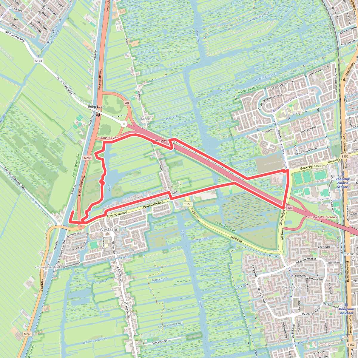


#1. Ommetje Reef (groen)
Westzaan,Assendelft,Koog aan de Zaan,Zaandijk
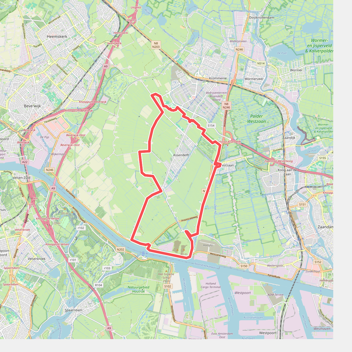
#2. Assendelftroute (zeegroen)
Spaarndam,Halfweg,Assendelft,Westzaan
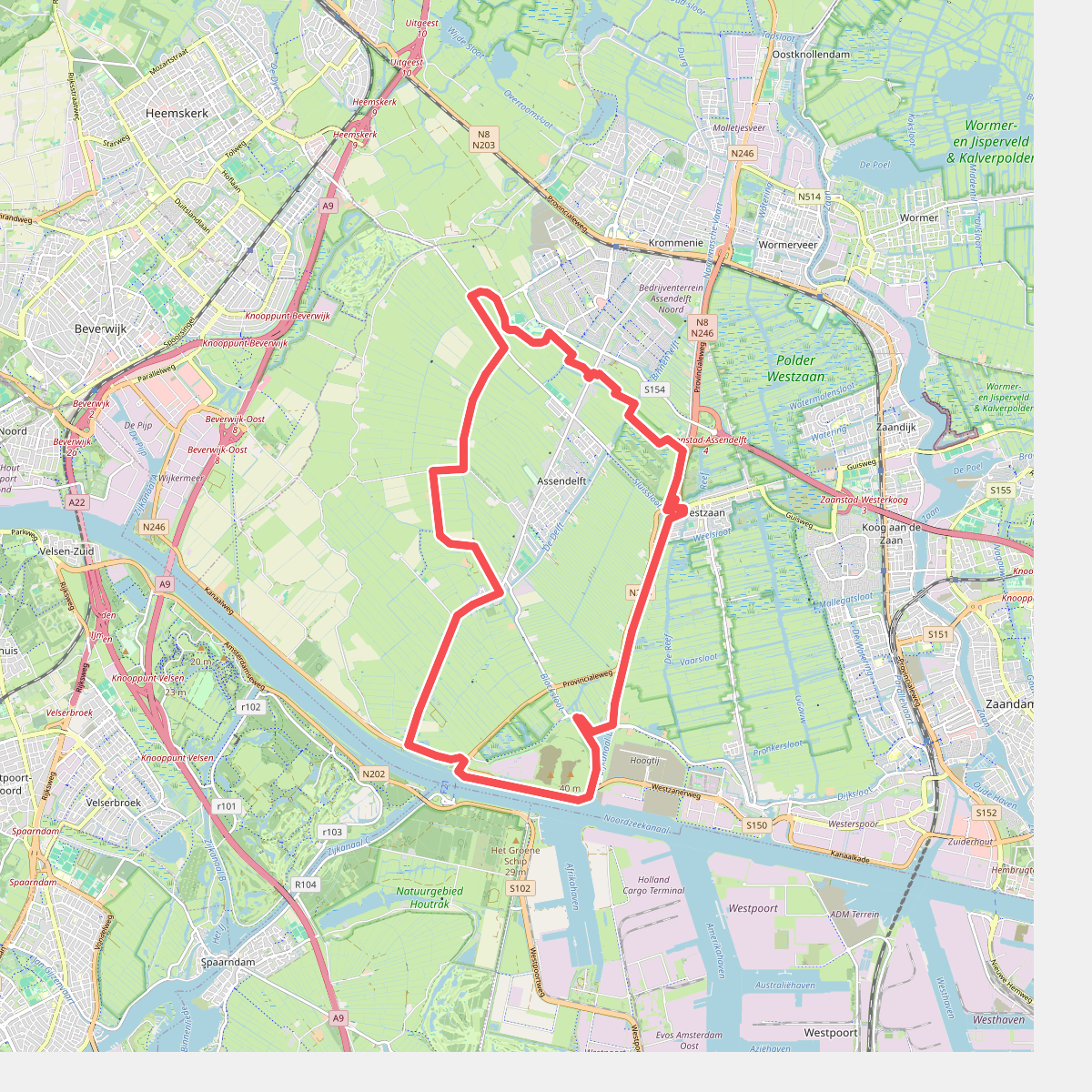
#3. Assendelftroute (zeegroen)
Westzaan,Assendelft,Halfweg,Spaarndam
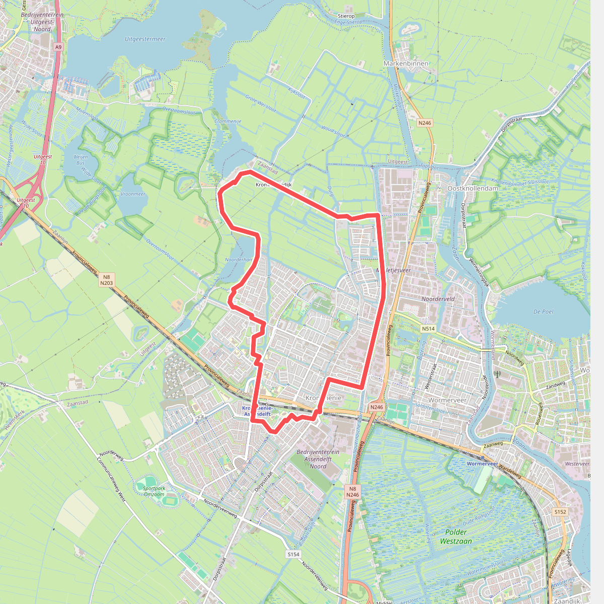
#4. Crommenijeroute (groen)
Krommenie,Markenbinnen
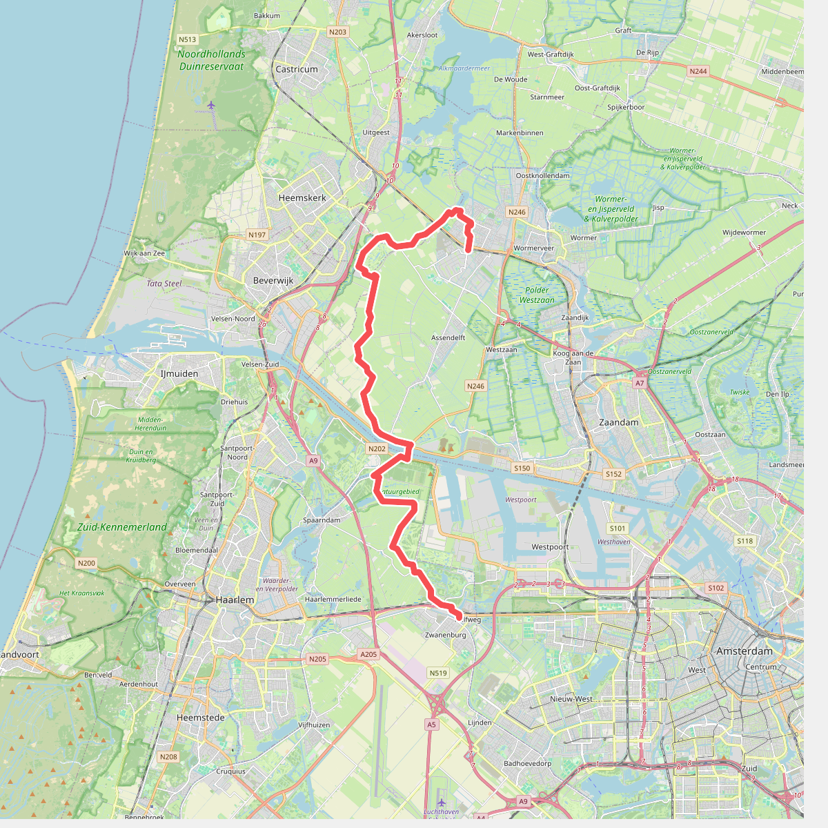
#5. Krommenie - Halfweg · Noord-Hollandpad etappe 12
Amsterdam,Halfweg,Zwanenburg,Spaarndam,Velsen-Zuid,Assendelft,Beverwijk,Heemskerk,Krommenie
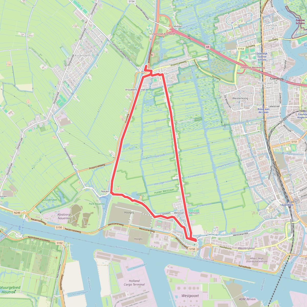
#6. Nauernaroute (rood)
Westzaan,Assendelft
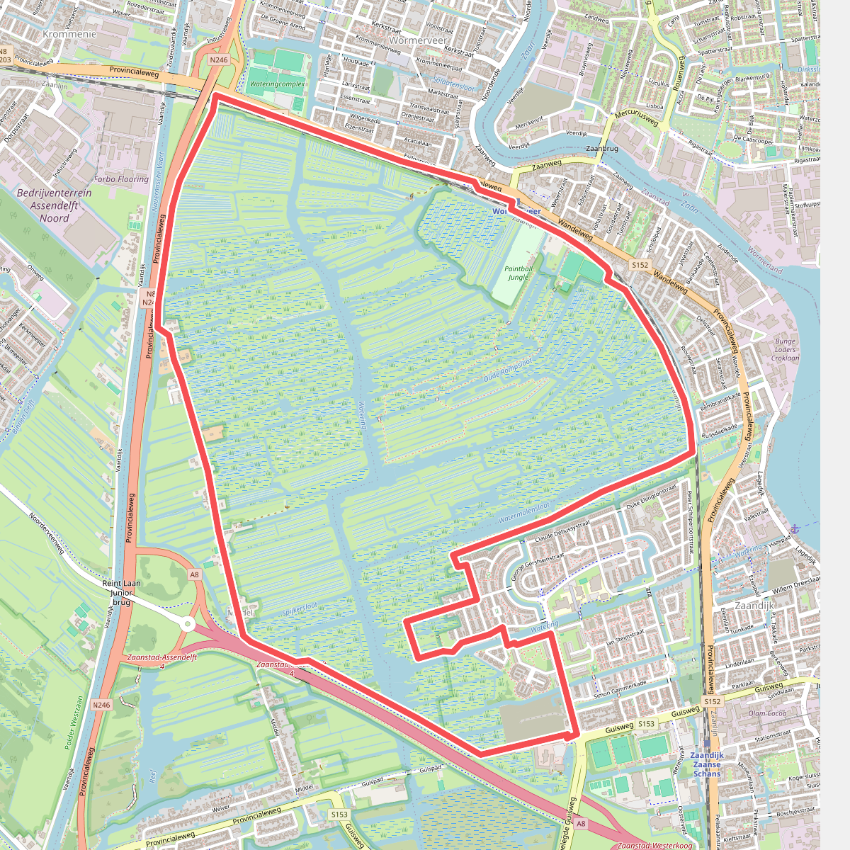
#7. Ommetje Guisveld (paars)
Zaandijk,Wormerveer,Krommenie,Assendelft,Koog aan de Zaan
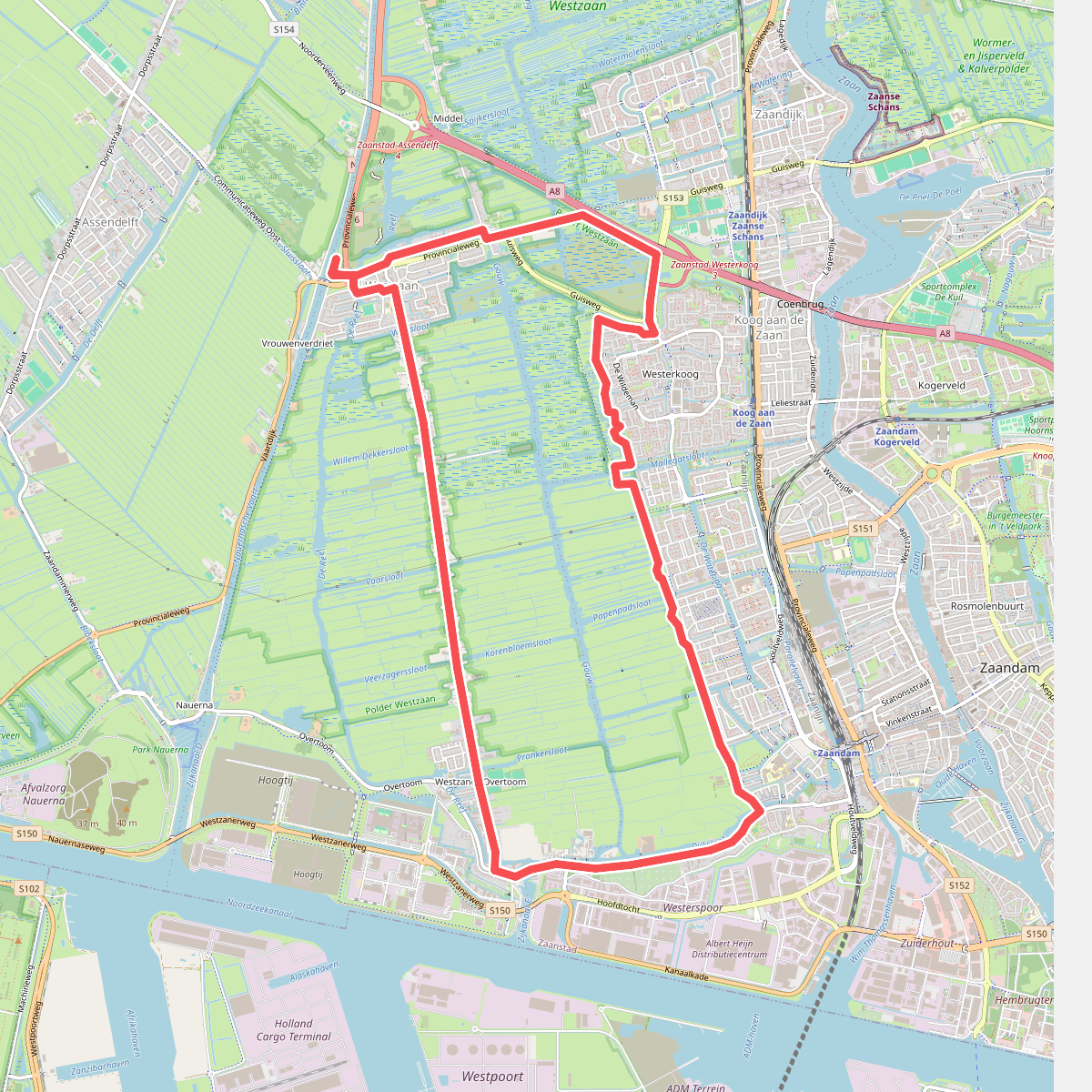
#8. Rondje Gouw (geel)
Westzaan,Koog aan de Zaan,Zaandam
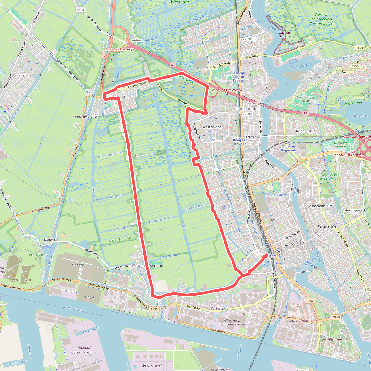
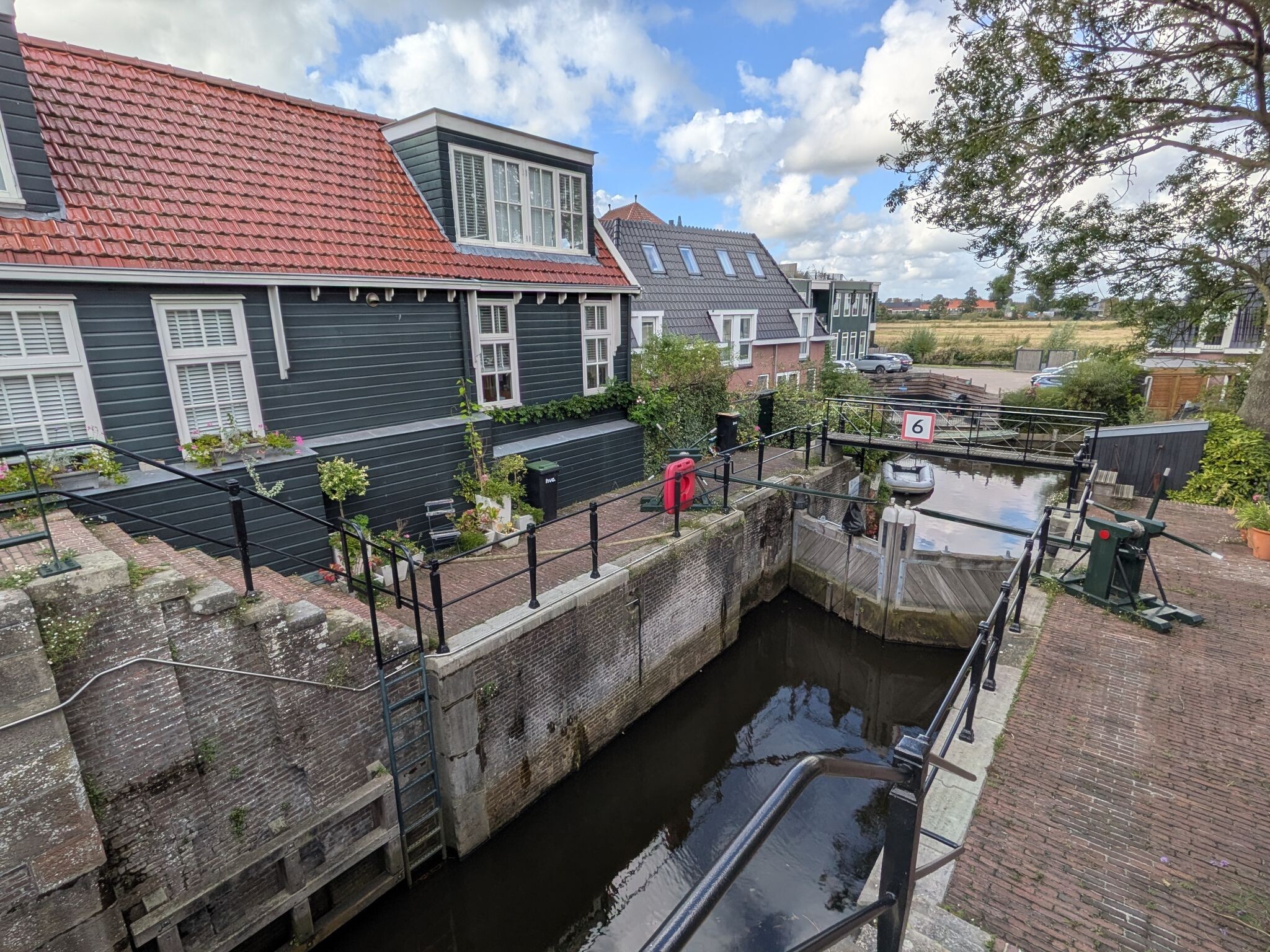
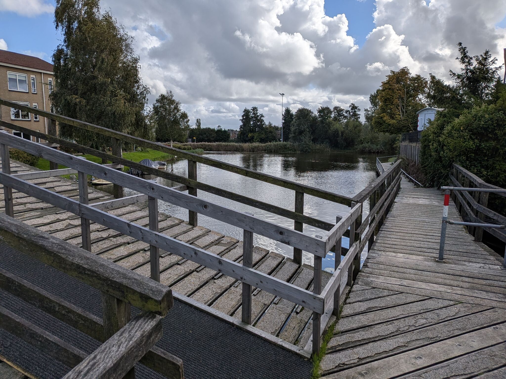
#9. Rondje Gouw (geel)
Zaandam,Westzaan,Koog aan de Zaan
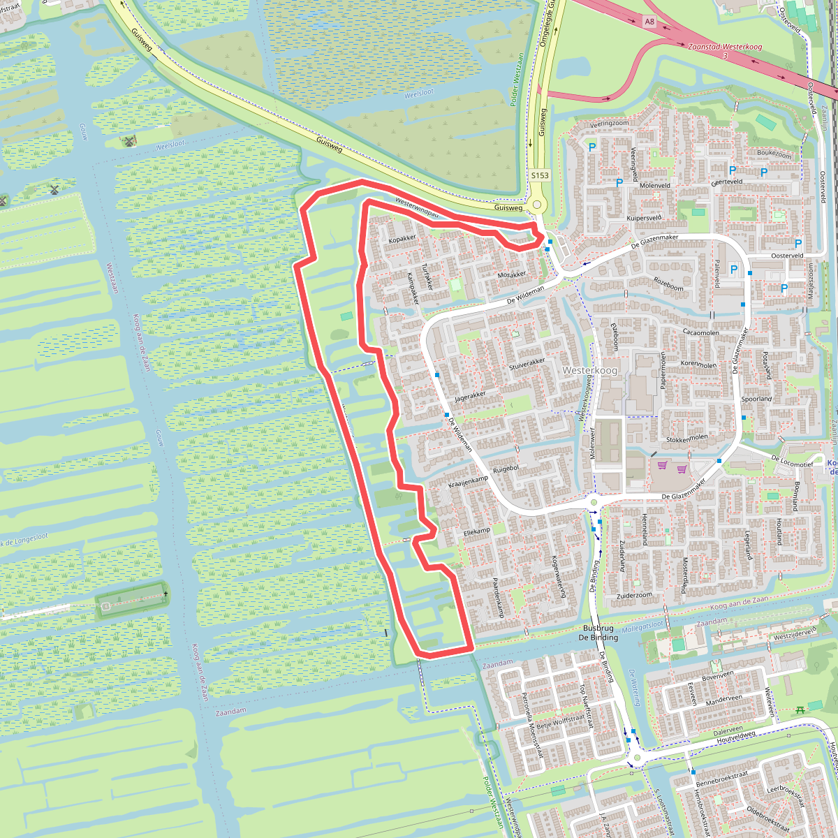
#10. Rondje Westzijderveld
Koog aan de Zaan
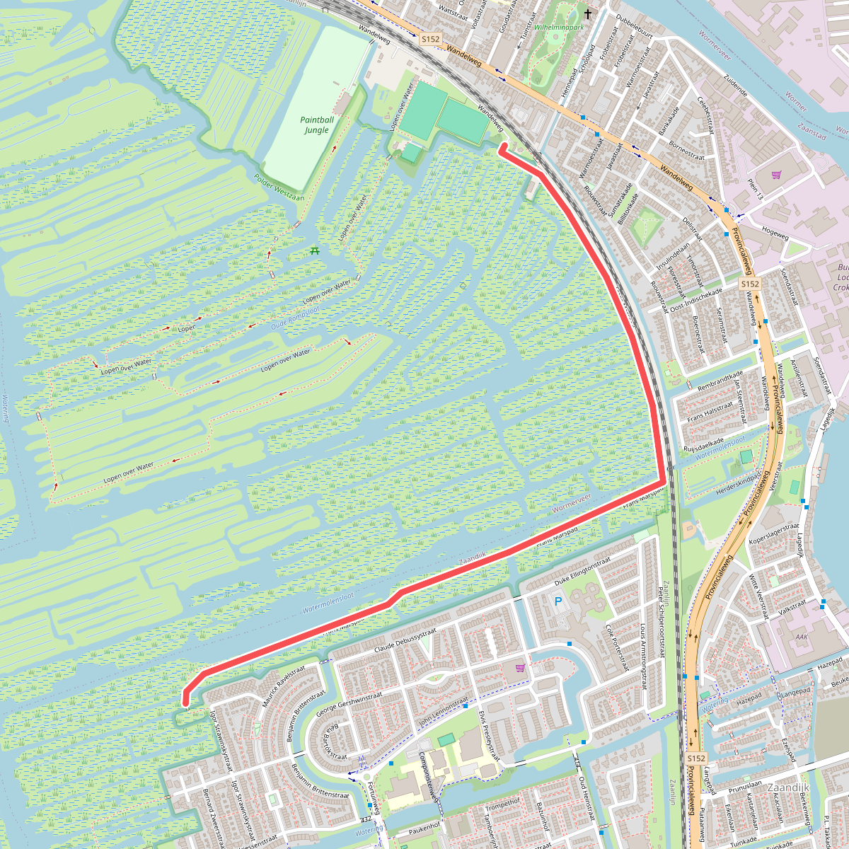
#11. Wandelroute Frans Marspad Guisveld
Zaandijk
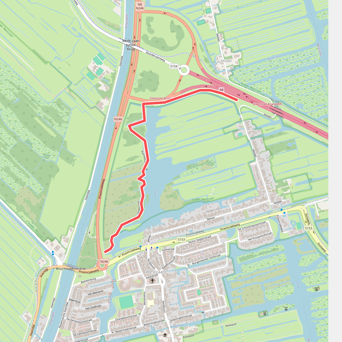
#12. Wandelroute Riettoppad Guisveld
Westzaan,Assendelft




