


The best hiking routes in Schiermonnikoog
Discover the best walks in Schiermonnikoog. 12 routes on the map, with descriptions, photos and GPX.
Managed by Natuurmonumenten
About Schiermonnikoog
Schiermonnikoog is a barrier island shaped by shifting sands and tides, where the landscape transitions from salt marshes in the east to wide beaches and dunes in the west. Unlike mainland forests, the woods here are relatively young pine and deciduous plantations, which quickly give way to low scrub, wet dune slacks, and open sand. Walkers should expect a mix of firm clay paths along the southern polder dike, loose sand tracks through the dunes, and grassy trails that can become waterlogged near the salt marshes. There are no high hills or deep valleys, only gently rolling dunes that offer views of the surrounding mudflats.
Read more
About Schiermonnikoog
Schiermonnikoog is a barrier island shaped by shifting sands and tides, where the landscape transitions from salt marshes in the east to wide beaches and dunes in the west. Unlike mainland forests, the woods here are relatively young pine and deciduous plantations, which quickly give way to low scrub, wet dune slacks, and open sand. Walkers should expect a mix of firm clay paths along the southern polder dike, loose sand tracks through the dunes, and grassy trails that can become waterlogged near the salt marshes. There are no high hills or deep valleys, only gently rolling dunes that offer views of the surrounding mudflats.
Read moreSchiermonnikoog is a barrier island shaped by shifting sands and tides, where the landscape transitions from salt marshes in the east to wide beaches and dunes in the west. Unlike mainland forests, the woods here are relatively young pine and deciduous plantations, which quickly give way to low scrub, wet dune slacks, and open sand. Walkers should expect a mix of firm clay paths along the southern polder dike, loose sand tracks through the dunes, and grassy trails that can become waterlogged near the salt marshes. There are no high hills or deep valleys, only gently rolling dunes that offer views of the surrounding mudflats.
The western part of the island features a network of marked paths, shell-paved cycle tracks, and occasional boardwalks through the wetter slacks. In contrast, the eastern half, particularly past the Kobbeduin, has fewer defined paths, requiring walkers to navigate open salt marsh and tidal flats where the ground is often soft and uneven underfoot. This eastern section is frequently closed or restricted during the bird breeding season from April to July to protect nesting colonies.
Because the island is constantly moving eastward due to wind and sea currents, the vegetation reflects this age gradient. The western dunes are older and covered in dense sea buckthorn and dwarf willow, while the eastern tip is a dynamic environment of bare sand and pioneering salt-tolerant plants. Visitors looking for structured walks with clear signposting will find them around the village and the western pine woods, while those seeking a more demanding, self-guided route can head east toward the salt marshes.
Hiking routes in Schiermonnikoog (12)
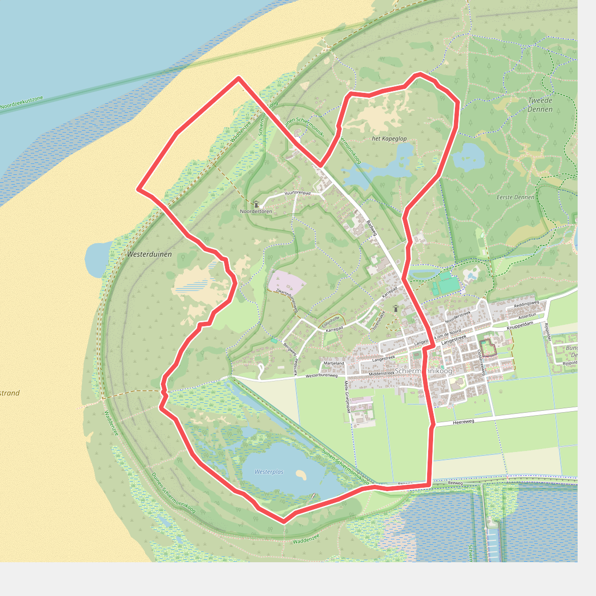
#1. De November Wandelmaand route
Schiermonnikoog
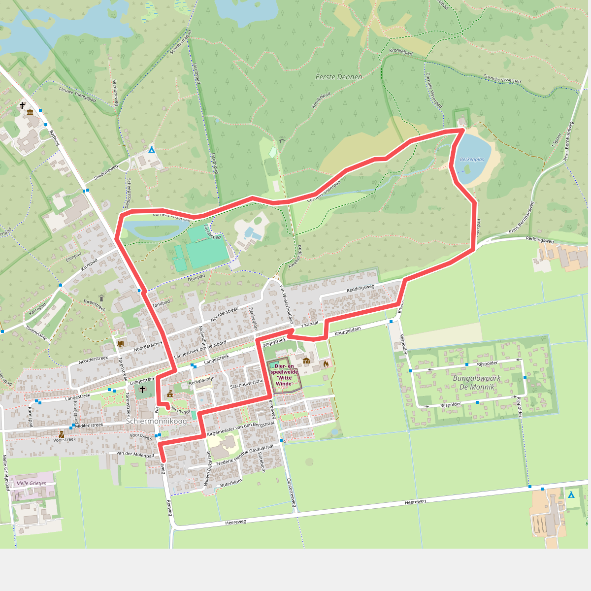
#2. Familieroute Berkenplas op Schiermonnikoog
Schiermonnikoog
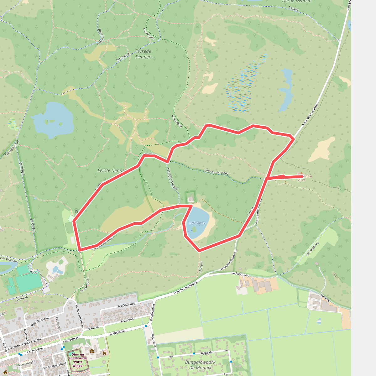
#3. Nachtwandeling op Schiermonnikoog
Schiermonnikoog
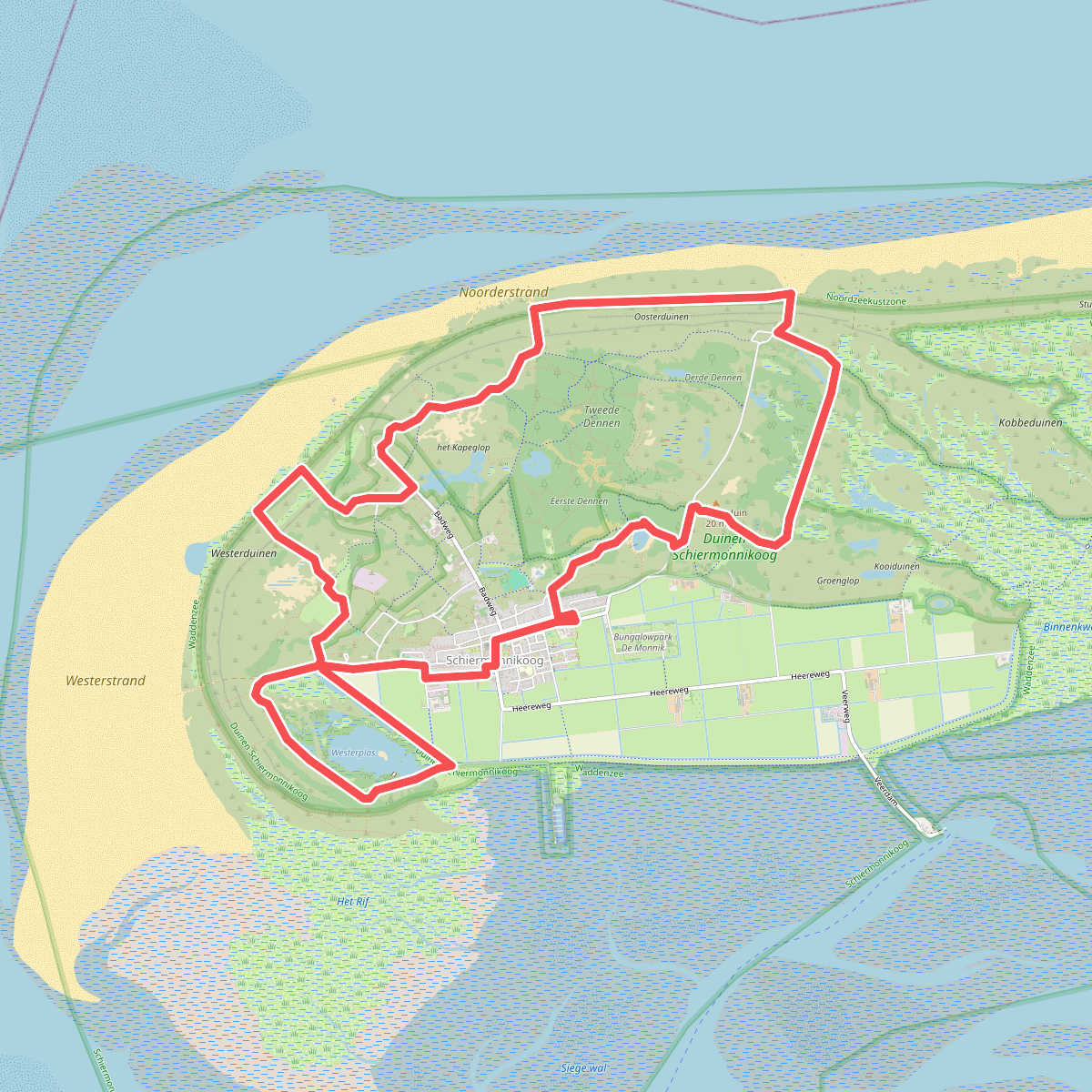
#4. Rondje Schiermonnikoog · Bonifatius Kloosterpad etappe 13
Schiermonnikoog
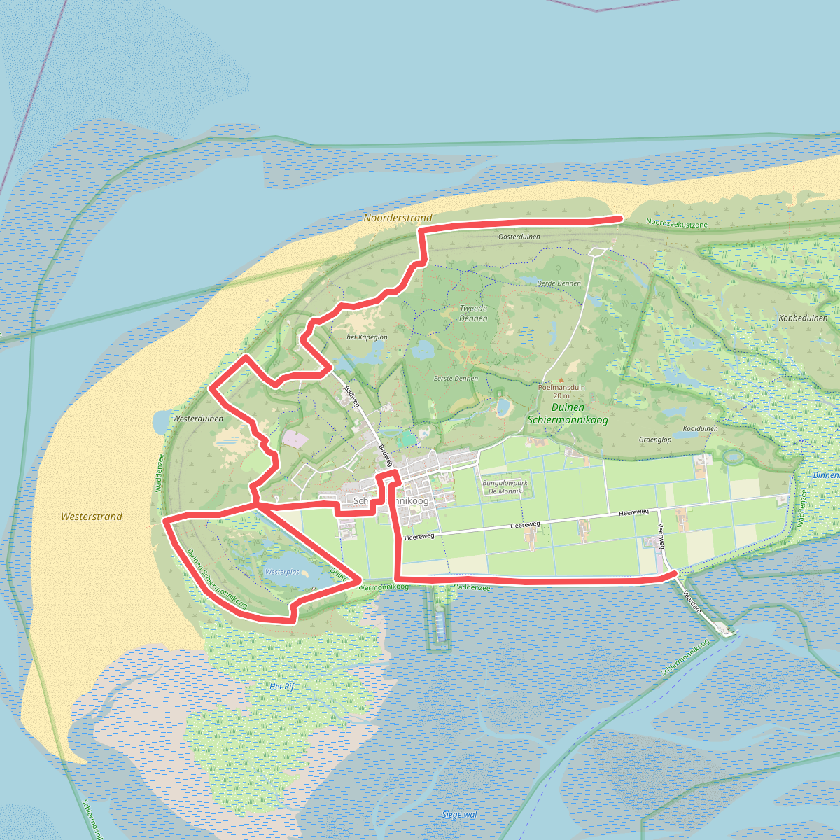
#5. Schiermonnikoog 1: Veerboot - bushalte De Marlijn · WaddenWandelen etappe 16
Schiermonnikoog
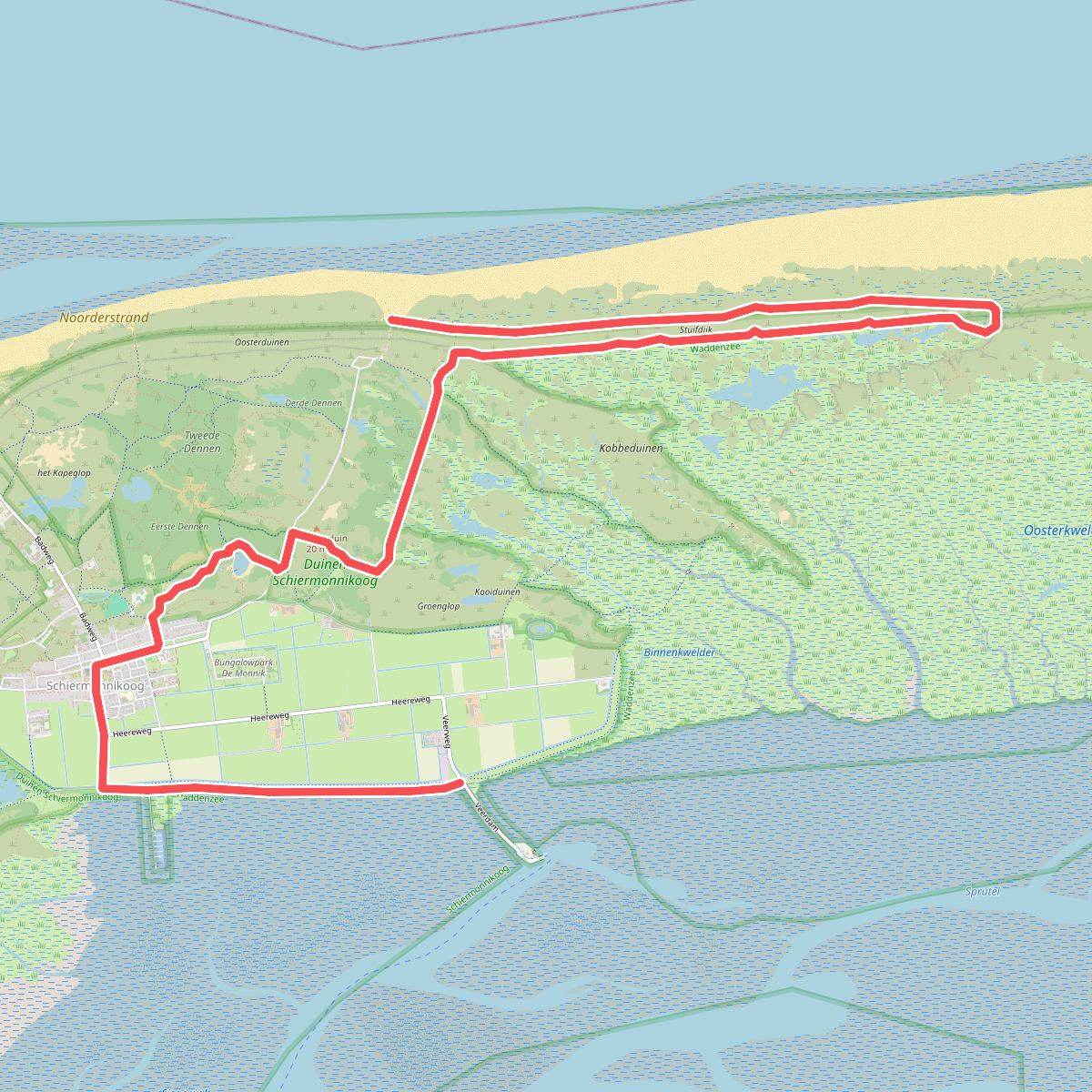
#6. Schiermonnikoog 2: bushalte De Marlijn - Veerboot · WaddenWandelen etappe 17
Schiermonnikoog
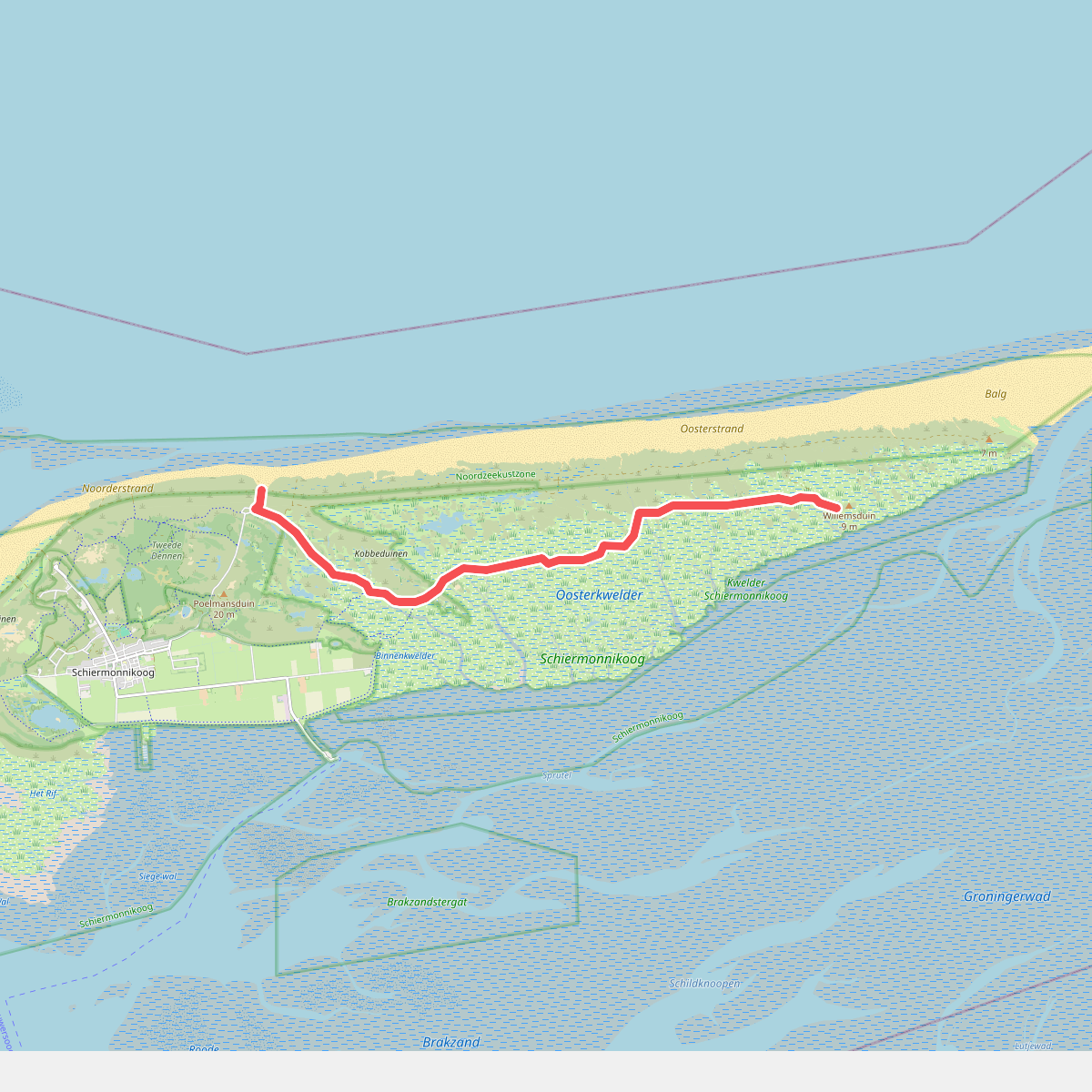
#7. Schiermonnikoog 3: Variant naar Willemsduin · WaddenWandelen etappe 18
Schiermonnikoog
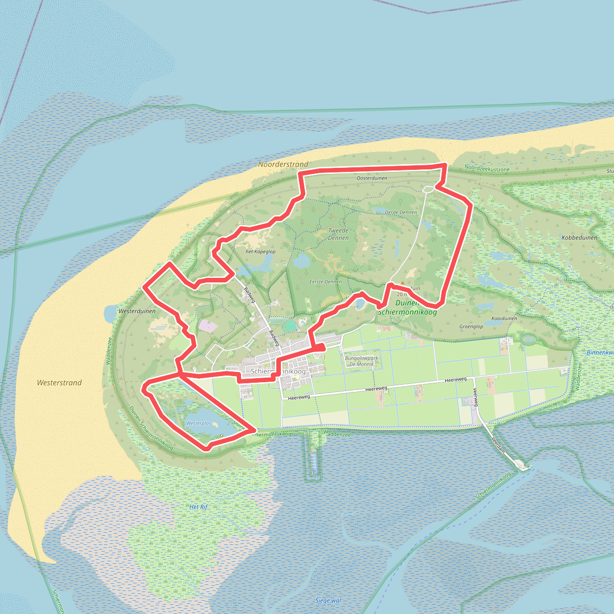
#8. Schiermonnikoog | Bonifatius Kloosterpad: rondje 1
Schiermonnikoog
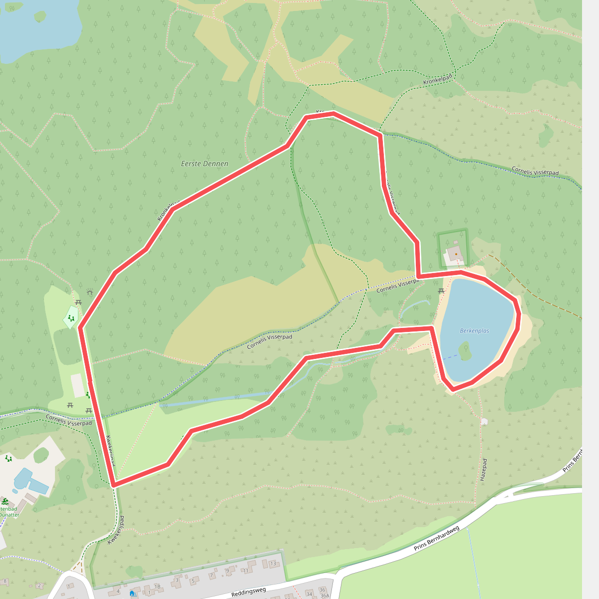
#9. Specht zoekt een huis op Schiermonnikoog
Schiermonnikoog
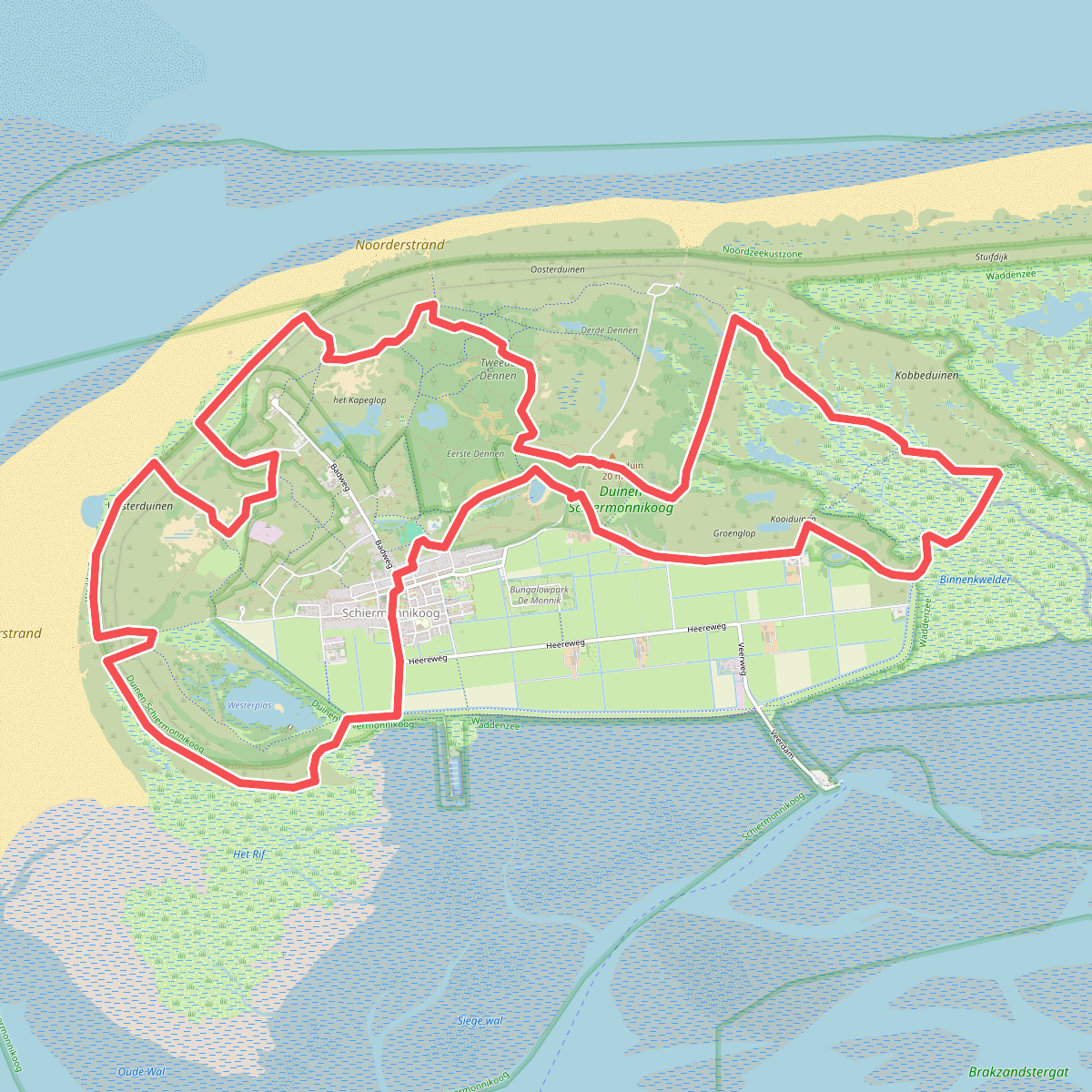
#10. Trailrun Schiermonnikoog (Friesland)
Schiermonnikoog
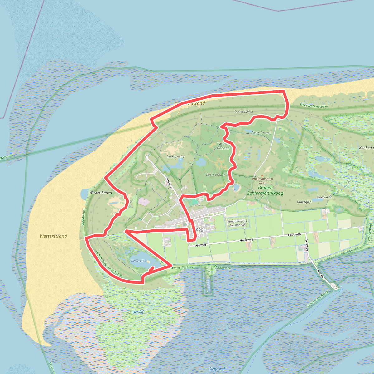
#11. Wandelroute Nationaal Park Schiermonnikoog, duin en strand (Friesland)
Schiermonnikoog
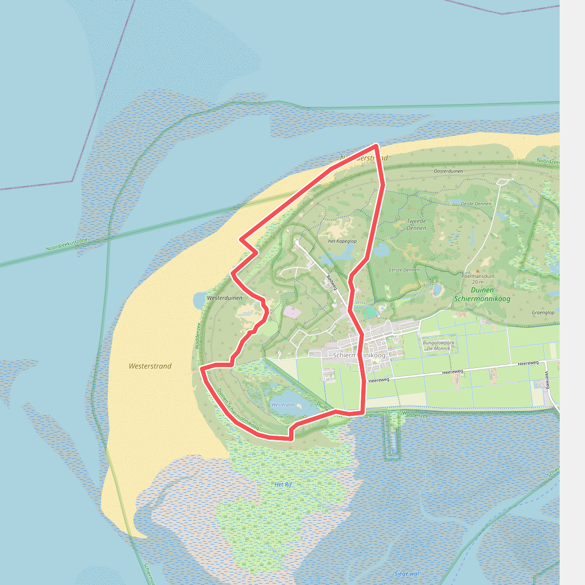
#12. Winterwandeling door duinen, strand en bos op Schiermonnikoog
Schiermonnikoog




