The best hiking routes in SIC Quarto di Barbarano Romano
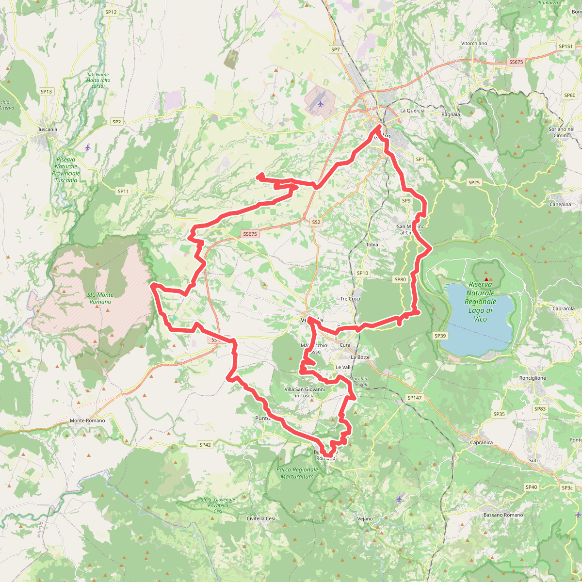
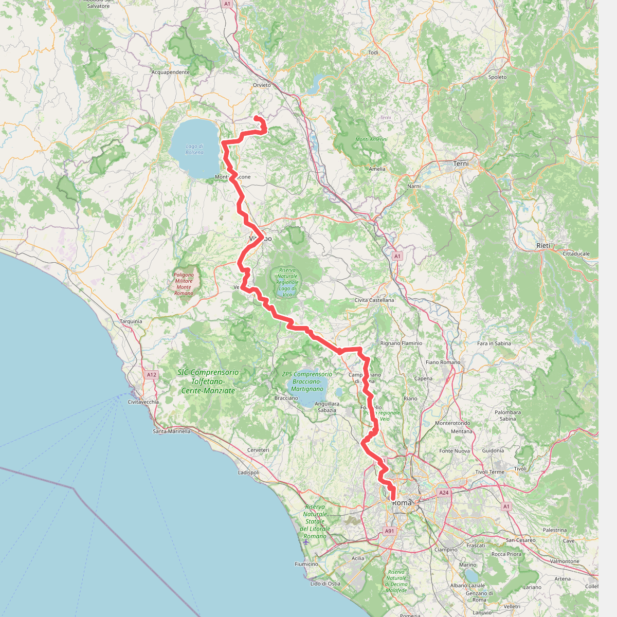
Discover the best walks in SIC Quarto di Barbarano Romano. 5 routes on the map, with descriptions, photos and GPX.
About SIC Quarto di Barbarano Romano
SIC Quarto di Barbarano Romano is characterized by a flat volcanic depression, quite different from the steep tufa cliffs and deep gorges that define the surrounding Lazio countryside. Walking here means traversing a wide, open basin where ancient pastureland meets patches of deciduous woodland. The terrain is mostly level, presenting a gentle, pastoral landscape rather than dramatic elevation changes. Underfoot, the tracks are predominantly dirt and grass, which can become soft clay after winter rains, requiring sturdy footwear.
Read more
About SIC Quarto di Barbarano Romano
SIC Quarto di Barbarano Romano is characterized by a flat volcanic depression, quite different from the steep tufa cliffs and deep gorges that define the surrounding Lazio countryside. Walking here means traversing a wide, open basin where ancient pastureland meets patches of deciduous woodland. The terrain is mostly level, presenting a gentle, pastoral landscape rather than dramatic elevation changes. Underfoot, the tracks are predominantly dirt and grass, which can become soft clay after winter rains, requiring sturdy footwear.
Read moreSIC Quarto di Barbarano Romano is characterized by a flat volcanic depression, quite different from the steep tufa cliffs and deep gorges that define the surrounding Lazio countryside. Walking here means traversing a wide, open basin where ancient pastureland meets patches of deciduous woodland. The terrain is mostly level, presenting a gentle, pastoral landscape rather than dramatic elevation changes. Underfoot, the tracks are predominantly dirt and grass, which can become soft clay after winter rains, requiring sturdy footwear.
The vegetation reflects the area's volcanic history, with fertile soils supporting dense oak stands alongside open meadows used for grazing. As you walk the central paths, you will notice how the woodland edges transition abruptly into wide pastures, a pattern maintained by traditional livestock grazing. This mix of shade and open ground provides a varied walking environment, though the lack of high vantage points means views are contained within the basin itself.
This area is generally quieter than the nearby regional park trails, making it suitable for those seeking a straightforward, contemplative walk. The main tracks are wide and easy to follow, though they lack the extensive signposting found in more developed hiking zones. It is a functional agricultural and natural landscape where you are more likely to encounter grazing cattle than crowds of visitors.