


The best hiking routes in Steigerwald
Discover the best walks in Steigerwald. 12 routes on the map, with descriptions, photos and GPX.
About Steigerwald
The Steigerwald is a low, forested hill range in northern Bavaria, characterized by extensive, old-growth beech forests on its western slopes and sun-exposed vineyards on its steeper eastern edge. Unlike the pine plantations common in other parts of Germany, this area is dominated by ancient deciduous trees, particularly around the protected core zones where dead wood is left to decay naturally. The terrain is gently rolling rather than mountainous, offering steady, moderate climbs rather than steep, rocky ascents. Underfoot, walkers will mostly encounter wide, unpaved forestry tracks and soft, leaf-littered earth paths that can become muddy after wet weather.
Read more
About Steigerwald
The Steigerwald is a low, forested hill range in northern Bavaria, characterized by extensive, old-growth beech forests on its western slopes and sun-exposed vineyards on its steeper eastern edge. Unlike the pine plantations common in other parts of Germany, this area is dominated by ancient deciduous trees, particularly around the protected core zones where dead wood is left to decay naturally. The terrain is gently rolling rather than mountainous, offering steady, moderate climbs rather than steep, rocky ascents. Underfoot, walkers will mostly encounter wide, unpaved forestry tracks and soft, leaf-littered earth paths that can become muddy after wet weather.
Read moreThe Steigerwald is a low, forested hill range in northern Bavaria, characterized by extensive, old-growth beech forests on its western slopes and sun-exposed vineyards on its steeper eastern edge. Unlike the pine plantations common in other parts of Germany, this area is dominated by ancient deciduous trees, particularly around the protected core zones where dead wood is left to decay naturally. The terrain is gently rolling rather than mountainous, offering steady, moderate climbs rather than steep, rocky ascents. Underfoot, walkers will mostly encounter wide, unpaved forestry tracks and soft, leaf-littered earth paths that can become muddy after wet weather.
Walking through the interior of the park reveals a distinct contrast between the dense, shaded forest canopy of the high ridges and the open, agricultural valleys below. The western side features deep, damp valleys with small streams and damp meadows, while the eastern fringe transitions abruptly into dry, terraced vineyards overlooking the Main valley. This transition is highly visible on the trail, as the dark, cool atmosphere of the beech forest suddenly gives way to wide, sunny views of grapevines and stone walls.
In October, the canopy turns a deep copper color, making this the most distinctive month to observe the natural forest dynamics. The area is generally quiet, though the vineyard paths and the designated treetop walk near Ebrach attract more visitors on weekends. For those seeking long, continuous woodland walks without dramatic elevation changes, the central forest paths provide a consistent, sheltered environment, and straightforward walking experience.
Hiking routes in Steigerwald (12)

#1. Erfurter Steigerwald: Grüner Schrägstrich

#2. Erfurter Steigerwald: Naturlehrpfad 1

#3. Erfurter Steigerwald: Rotes Rad

#4. Erfurter Steigerwald: Rundwanderweg 4,5km

#5. Internationaler Bergwanderweg Eisenach–Budapest (Thüringen West)

#6. Jakobsweg Via Regia 6
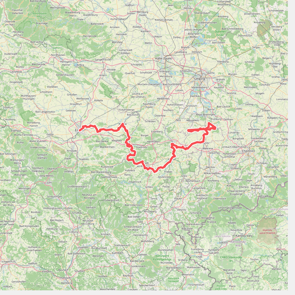
#7. Lutherweg Thüringen - Ostroute

#8. Lutherweg Thüringen - Südschlaufe

#9. Lutherweg Thüringen - Westschlaufe
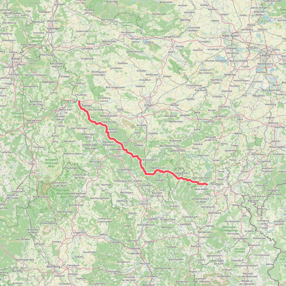
#10. Rennsteig
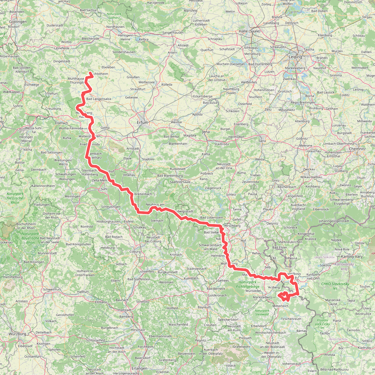
#11. Via Porta





