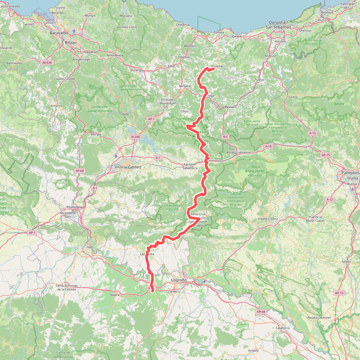
The best hiking routes in Urkiolako Parke Naturala
Discover the best walks in Urkiolako Parke Naturala. 18 routes on the map, with descriptions, photos and GPX.
About Urkiolako Parke Naturala
Urkiolako Parke Naturala is defined by its stark contrasts between grey limestone crests and deep green valleys. Walkers here will find themselves either on rugged, rocky paths that climb toward the high summits like Anboto, or on softer forest tracks winding through plantations of Monterey pine and stands of native beech. The limestone underfoot is often sharp and uneven, requiring sturdy footwear, while the lower woodland trails consist of packed earth and gravel that can become muddy after typical Basque rainfall.
Read more
About Urkiolako Parke Naturala
Urkiolako Parke Naturala is defined by its stark contrasts between grey limestone crests and deep green valleys. Walkers here will find themselves either on rugged, rocky paths that climb toward the high summits like Anboto, or on softer forest tracks winding through plantations of Monterey pine and stands of native beech. The limestone underfoot is often sharp and uneven, requiring sturdy footwear, while the lower woodland trails consist of packed earth and gravel that can become muddy after typical Basque rainfall.
Read moreUrkiolako Parke Naturala is defined by its stark contrasts between grey limestone crests and deep green valleys. Walkers here will find themselves either on rugged, rocky paths that climb toward the high summits like Anboto, or on softer forest tracks winding through plantations of Monterey pine and stands of native beech. The limestone underfoot is often sharp and uneven, requiring sturdy footwear, while the lower woodland trails consist of packed earth and gravel that can become muddy after typical Basque rainfall.
This landscape is shaped by its geological history and traditional land use. You will notice active sheep grazing on the high mountain pastures, which keeps the grassy passes open, alongside evidence of historical iron mining and charcoal burning in the woods. The transition from the dense, shaded beech forests to the exposed, barren rock of the peaks happens abruptly, offering a clear reading of how altitude and soil depth dictate the vegetation.
The area around the Urkiola sanctuary is the busiest hub, where wide, gravelled paths are accessible to most visitors. As you move further into the limestone massifs, the terrain becomes significantly more demanding, with steep scrambles over loose scree. While the lower valleys offer gentle, sheltered walks under the canopy, the higher ridges are fully exposed to the elements, with no shelter between the rocky outcrops.
Hiking routes in Urkiolako Parke Naturala (18)

#1. Anbotoko bira
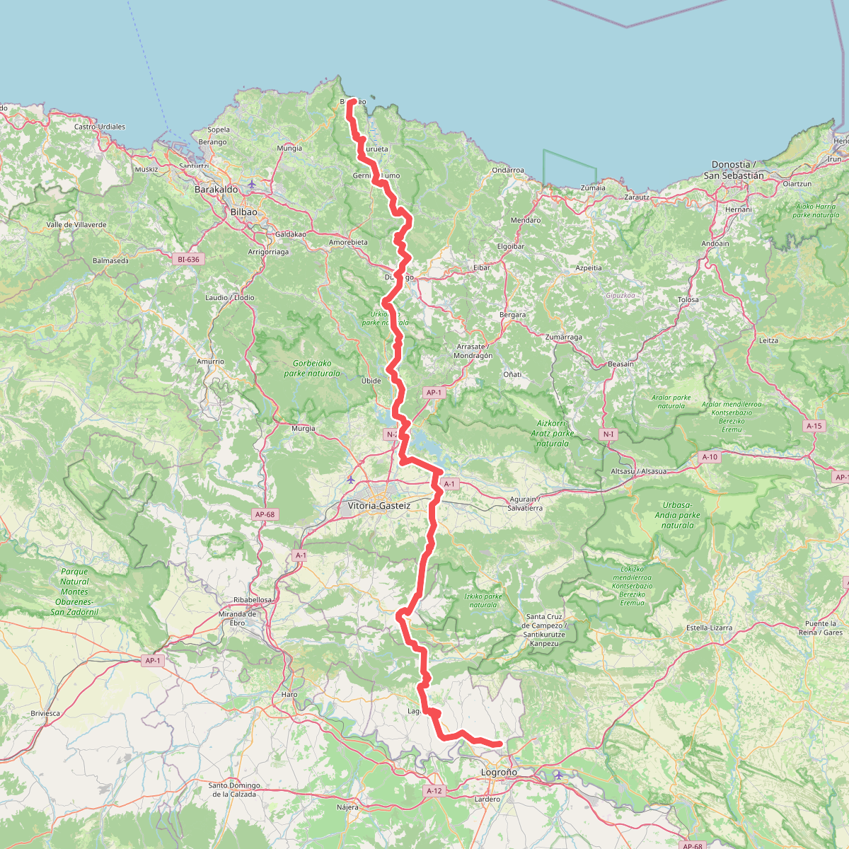
#2. Ardoaren eta arrainaren bidea
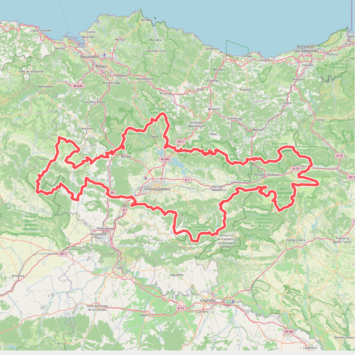
#3. Artzaintza naturbidea
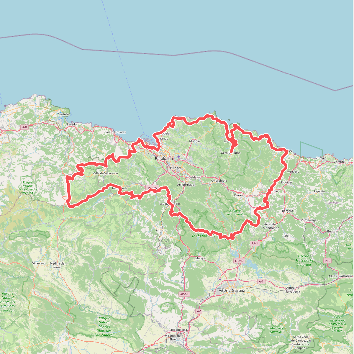
#4. Bizkaiko bira

#5. E09 Bizkar ibilbidea: Udala - Leintz Gatzaga

#6. E2 Hartzaren Urratsa: Arrasate - Leintz Gatzaga

#7. Erleabe, erleen bidea
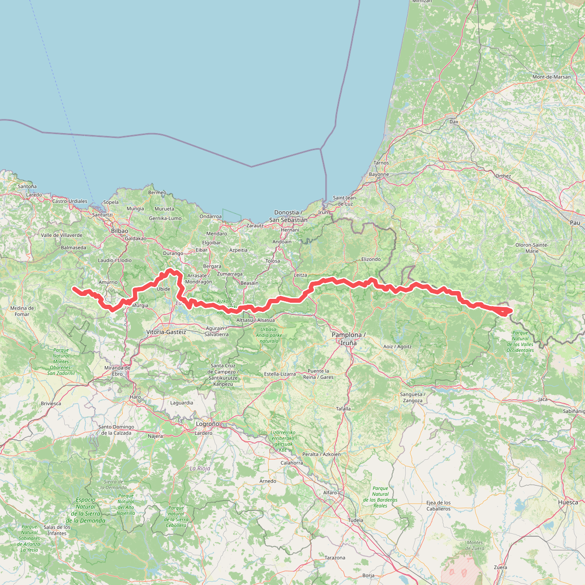
#8. Euskal Herriko ibilaldia

#9. Galdarako bira

#10. Ikazkinen bidea

#11. Ikazkinen bidea