


The best hiking routes in Voornes Duin
Discover the best walks in Voornes Duin. 23 routes on the map, with descriptions, photos and GPX.
Managed by Rijkswaterstaat;Staatsbosbeheer;Natuurmonumenten

About Voornes Duin
Voornes Duin is a coastal dune landscape shaped by its rapid formation over the last few centuries, leaving a series of distinct, parallel ridges and damp valleys. Unlike older, more leached Dutch dunes, the sand here remains rich in calcium. This chemical makeup supports an unusually diverse plant life, which you will notice as the vegetation shifts rapidly from dense scrub to open, herb-rich grasslands within a short distance.
Read more
About Voornes Duin
Voornes Duin is a coastal dune landscape shaped by its rapid formation over the last few centuries, leaving a series of distinct, parallel ridges and damp valleys. Unlike older, more leached Dutch dunes, the sand here remains rich in calcium. This chemical makeup supports an unusually diverse plant life, which you will notice as the vegetation shifts rapidly from dense scrub to open, herb-rich grasslands within a short distance.
Read moreVoornes Duin is a coastal dune landscape shaped by its rapid formation over the last few centuries, leaving a series of distinct, parallel ridges and damp valleys. Unlike older, more leached Dutch dunes, the sand here remains rich in calcium. This chemical makeup supports an unusually diverse plant life, which you will notice as the vegetation shifts rapidly from dense scrub to open, herb-rich grasslands within a short distance.
The walking terrain varies significantly between the wet, low-lying slacks and the dry, sandy ridges. In the lower valleys, the paths can be muddy, and some sections are equipped with wooden boardwalks to help you cross the marshy ground. On the higher dunes, the underfooting changes to loose, deep sand that requires more physical effort. Deciduous woodlands of birch and oak cover parts of the inner dunes, offering shelter before the paths emerge into the open, wind-swept outer dunes closer to the North Sea.
This area is not a place for wide, uninterrupted sea views from every path, as thickets of sea buckthorn and elder often enclose the trails. While the western edges near the beach access points can be busy with visitors, the interior network of narrow, winding footpaths offers a quieter experience. It is a varied, enclosed landscape where the transition from freshwater ponds to dry sand dunes happens over just a few meters.
Hiking routes in Voornes Duin (23)
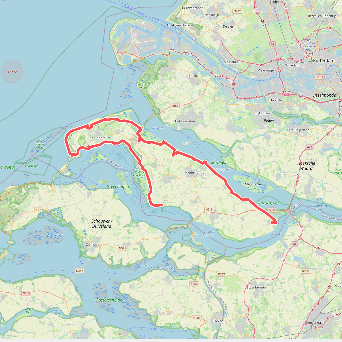
#1. De Omloop
Ooltgensplaat,Den Bommel,Stad aan 't Haringvliet,Middelharnis,Sommelsdijk,Dirksland,Stellendam,Goedereede,Ouddorp,Melissant,Herkingen


#2. Goedereede - Rockanje · Nederlands Kustpad 1 etappe 8
Rockanje,Hellevoetsluis,Stellendam,Goedereede

#3. GR 5 NL - 3 - Brielle-Rockanje

#4. GR 5 NL - 3 - Brielle-Rockanje - omleiding/wintervariant

#5. GR 5 NL - 4 - Rockanje-Goedereede

#6. Hardlooproute Breede Water in Voornes Duin
Rockanje

#7. Hoek van Holland - Maassluis
Hoek van Holland,'s-Gravenzande,Maasdijk,Maasland,Maassluis


#8. Brielle - Goedereede · Jacobsweg Die Haghe etappe 5
Brielle,Tinte,Hellevoetsluis,Rockanje,Stellendam,Goedereede
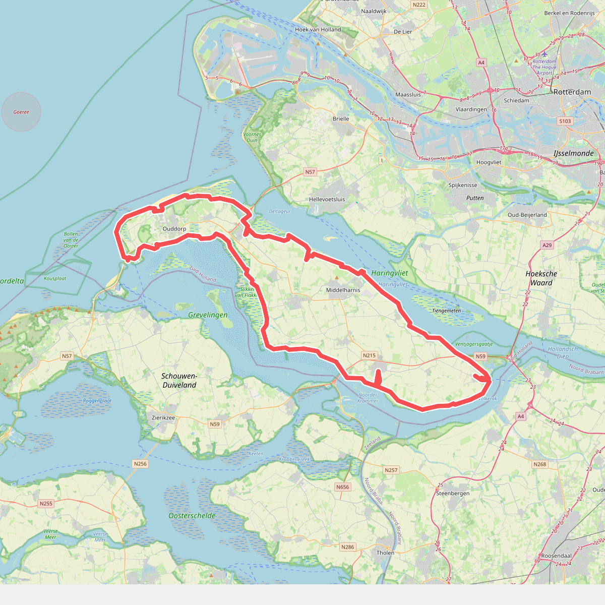
#9. omloop goeree 2026
110km
Ooltgensplaat,Den Bommel,Stad aan 't Haringvliet,Middelharnis,Sommelsdijk,Dirksland,Stellendam,Goedereede,Ouddorp,Melissant,Herkingen,Oude-Tonge


#10. Oostvoorne - Goedereede · GR5 etappe 3
Oostvoorne,Rockanje,Stellendam,Goedereede

#11. Ouddorp naar Rockanje - "De Kraan" · NederRandpad etappe 61
Rockanje,Hellevoetsluis,Stellendam,Goedereede,Ouddorp


#12. Rockanje - Brielle · Nederlands Kustpad 1 etappe 9
Brielle,Oostvoorne,Rockanje




