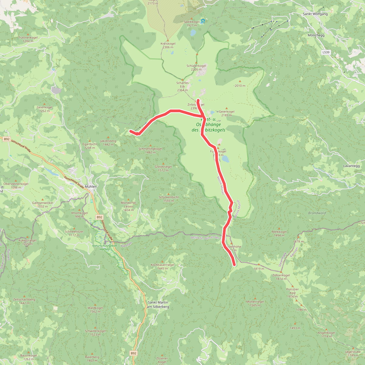
The best hiking routes in West- u. Ostabhänge des Zirbitzkogels
Discover the best walks in West- u. Ostabhänge des Zirbitzkogels. 1 routes on the map, with descriptions, photos and GPX.
About West- u. Ostabhänge des Zirbitzkogels
The West- u. Ostabhänge des Zirbitzkogels nature reserve covers the contrasting eastern and western slopes of the Zirbitzkogel massif. If you choose the western slopes, you will walk through dense subalpine spruce and larch forests that gradually thin out into extensive stone pine stands. The ground here is dominated by thick moss layers, bilberry bushes, and damp, acidic soils. In contrast, the eastern slopes present a more open, wind-exposed landscape characterized by wide alpine pastures, dwarf shrub heaths, and blockfields of crystalline rock.
Read more
About West- u. Ostabhänge des Zirbitzkogels
The West- u. Ostabhänge des Zirbitzkogels nature reserve covers the contrasting eastern and western slopes of the Zirbitzkogel massif. If you choose the western slopes, you will walk through dense subalpine spruce and larch forests that gradually thin out into extensive stone pine stands. The ground here is dominated by thick moss layers, bilberry bushes, and damp, acidic soils. In contrast, the eastern slopes present a more open, wind-exposed landscape characterized by wide alpine pastures, dwarf shrub heaths, and blockfields of crystalline rock.
Read moreThe West- u. Ostabhänge des Zirbitzkogels nature reserve covers the contrasting eastern and western slopes of the Zirbitzkogel massif. If you choose the western slopes, you will walk through dense subalpine spruce and larch forests that gradually thin out into extensive stone pine stands. The ground here is dominated by thick moss layers, bilberry bushes, and damp, acidic soils. In contrast, the eastern slopes present a more open, wind-exposed landscape characterized by wide alpine pastures, dwarf shrub heaths, and blockfields of crystalline rock.
Underfoot, the paths reflect this geological divide. The western side features soft forest soil, tree roots, and boggy patches near mountain springs, requiring careful placement of your boots. On the eastern side, the tracks are firmer but rougher, consisting of weathered gneiss and slate gravel, with some sections crossing open scree slopes where the trail is marked by simple stone cairns. You will notice how the vegetation hugs the ground on these eastern slopes to survive the harsh alpine climate.
This area is not a place for jagged limestone peaks or deep, sheer canyons. Instead, it offers a high-altitude plateau landscape with rounded summits and wide, glacial cirques. In late June and July, the dwarf shrub heaths on both slopes turn a deep pink as the rust-leaved alpenrose comes into bloom, marking the transition from the snowmelt period to the short alpine summer.