The best hiking routes in Zona de Proteção Especial do Estuário do Sado
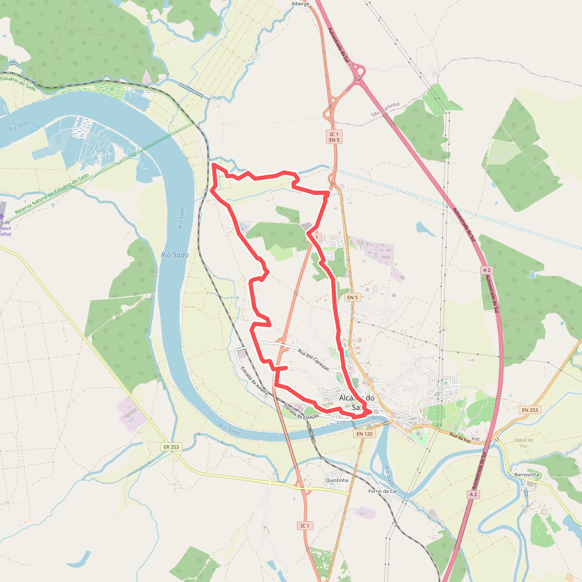
Discover the best walks in Zona de Proteção Especial do Estuário do Sado. 1 routes on the map, with descriptions, photos and GPX.
Managed by Instituto da Conservação da Natureza e das Florestas
About Zona de Proteção Especial do Estuário do Sado
The Zona de Proteção Especial do Estuário do Sado is a vast wetland landscape dominated by tidal salt marshes, mudflats, and active salt pans. Unlike the rocky cliffs of the nearby Arrábida coastline, this protected area is entirely flat, shaped by the slow movement of the Sado River meeting the Atlantic. Walkers will find a terrain defined by human utility and natural tides, where dikes and dirt tracks divide the water into geometric evaporation ponds, some still used for salt production while others have been reclaimed by marsh vegetation.
Read more
About Zona de Proteção Especial do Estuário do Sado
The Zona de Proteção Especial do Estuário do Sado is a vast wetland landscape dominated by tidal salt marshes, mudflats, and active salt pans. Unlike the rocky cliffs of the nearby Arrábida coastline, this protected area is entirely flat, shaped by the slow movement of the Sado River meeting the Atlantic. Walkers will find a terrain defined by human utility and natural tides, where dikes and dirt tracks divide the water into geometric evaporation ponds, some still used for salt production while others have been reclaimed by marsh vegetation.
Read moreThe Zona de Proteção Especial do Estuário do Sado is a vast wetland landscape dominated by tidal salt marshes, mudflats, and active salt pans. Unlike the rocky cliffs of the nearby Arrábida coastline, this protected area is entirely flat, shaped by the slow movement of the Sado River meeting the Atlantic. Walkers will find a terrain defined by human utility and natural tides, where dikes and dirt tracks divide the water into geometric evaporation ponds, some still used for salt production while others have been reclaimed by marsh vegetation.
Underfoot, the paths are a mix of hard-packed dirt tracks along the levees and loose sand near the pine-forested edges of the estuary. There are no boardwalks or paved promenades here, so walking requires attention to the rough, uneven ground of the dikes. The landscape changes visually depending on the tide, exposing vast mudflats that attract thousands of wading birds, particularly during the autumn migration in October.
This area is not a place for dramatic coastal views or deep forest shade. Instead, it offers a stark, open environment where the vegetation consists mainly of salt-tolerant shrubs like glasswort. While the edges near the main roads can feel industrial due to nearby shipyards and salt works, venturing further along the dike paths leads into a quiet, working landscape where the smell of salt and mud dominates.