


Route Maker
Draw your own walking route on the map, with full control over the path
How it works
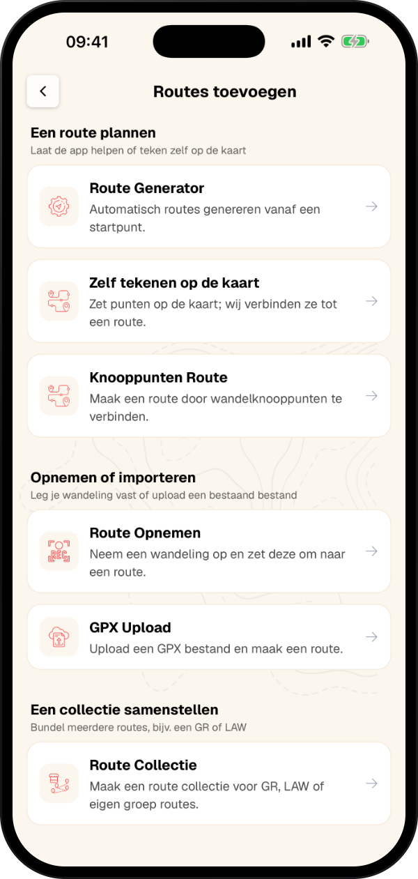
With Route Maker you draw your own route on the map. You decide where the route goes, the app connects your points over walking paths automatically. In the app, go to Routes → Create route → Draw it on the map. This feature is available without limits for Complete users.
Watch the instruction video
This short video shows in about a minute how to draw, adjust and save your own route with Route Maker.
Draw a route in 5 steps
1. Tap the map to place your starting point, then keep tapping for every next point.
2. The route is calculated over walking paths right away. There is nothing to generate.
3. Turn on Loop if you want to finish where you started.
4. Fine-tune the route by dragging points or tapping the line.
5. Happy with it? Tap Save route.
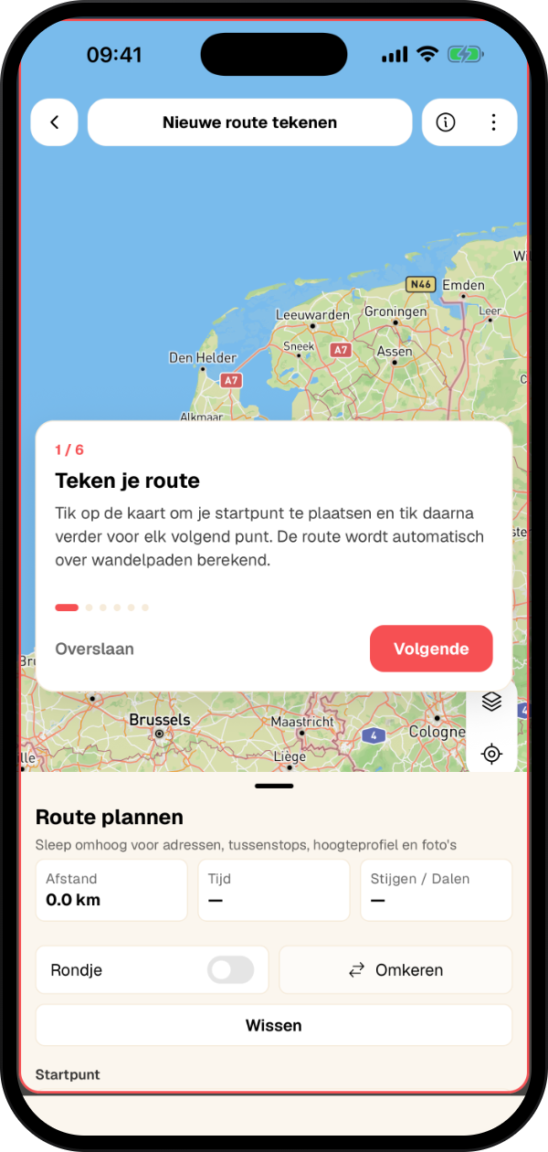
Draw your route on the map
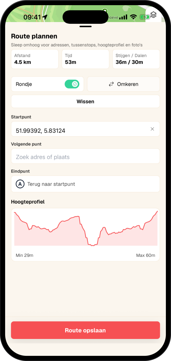
The starting point is marked A, the points after it get a number. After every point you immediately see the route over the walking paths, with the distance, time and elevation below it. Loop takes the route from your last point back to the start, Reverse flips the walking direction.
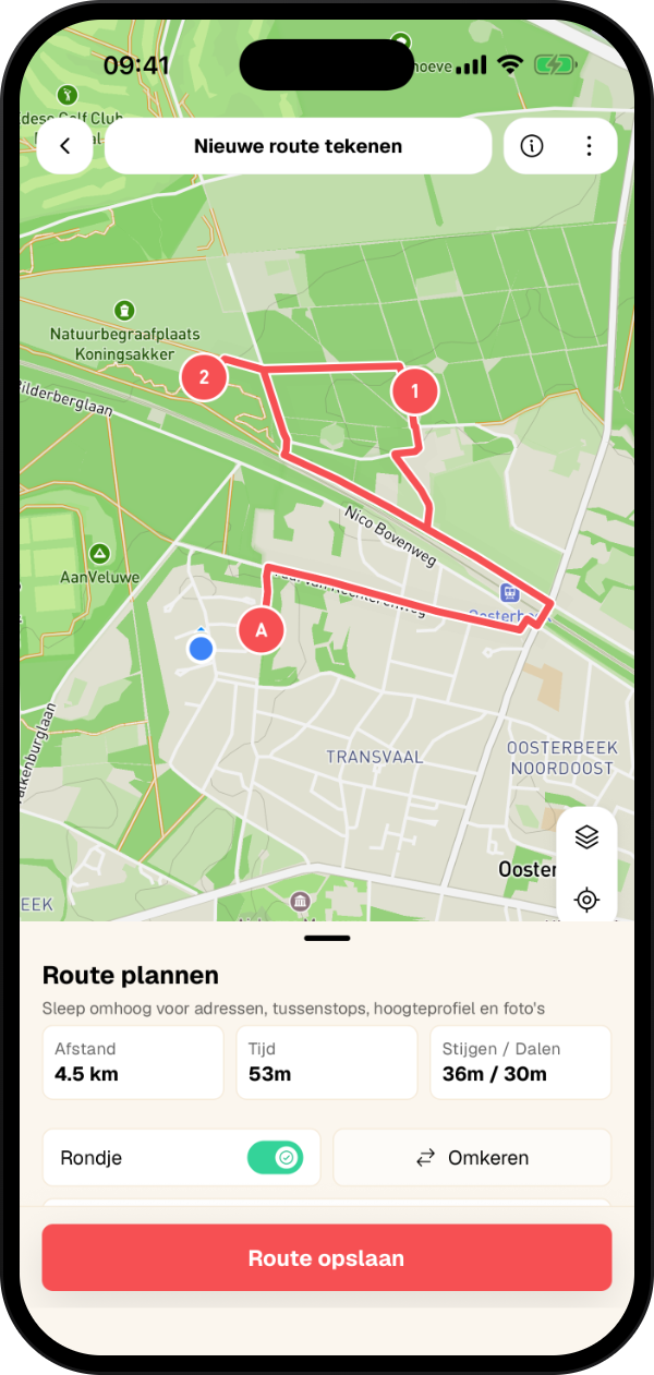
Fine-tune your route
Not quite the route you had in mind? Adjusting it is easy:
Drag a point somewhere else and the route is recalculated
Tap a point to remove it, make it the start, or remove everything before or after it
Tap the line to add a point in between or to draw a section as a straight line, for example across a meadow
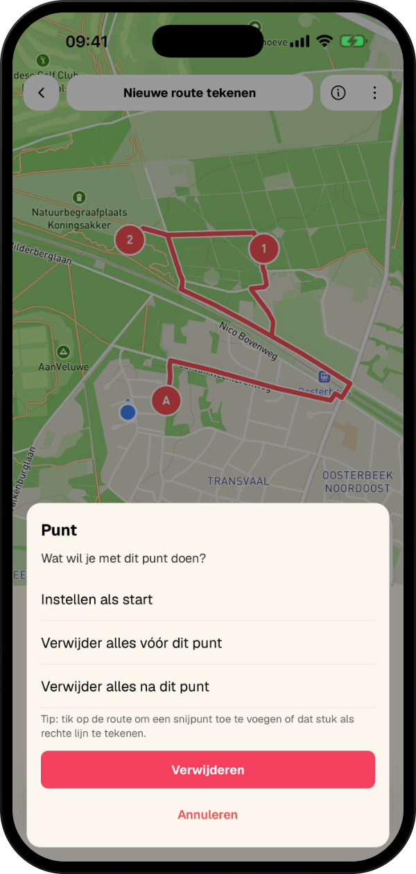
Tap a point
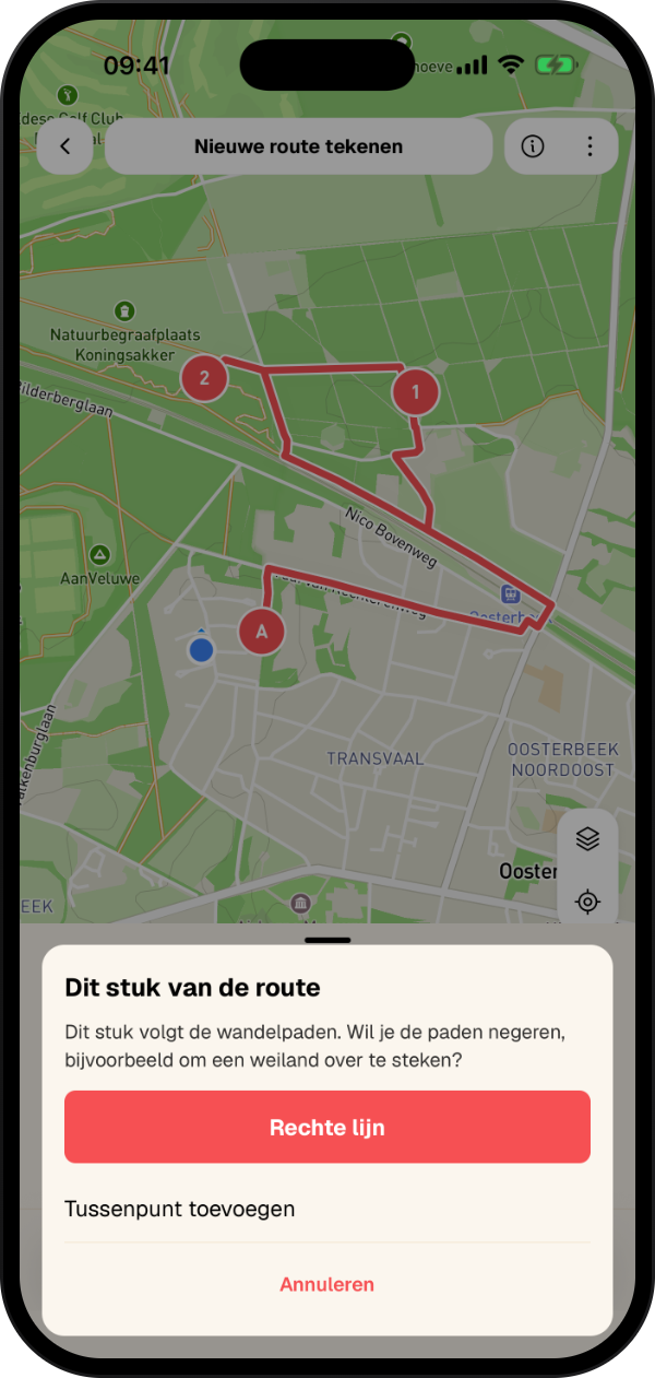
Tap the line
Distance, time and elevation profile
The top of the panel shows the distance, estimated walking time and elevation. Drag the panel up to search for a start, end or stop address and to see the elevation profile and photos along the route.
Save your route
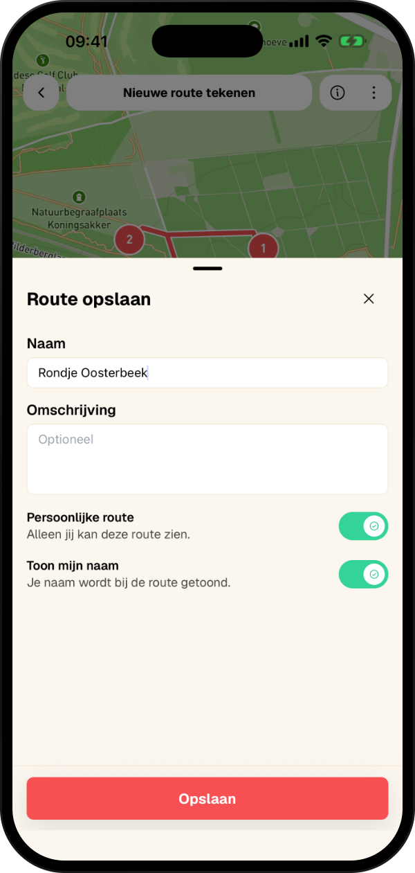
When saving, add the final details to your route:
Give your route a fitting name
Optionally add a description
Choose whether it is a personal route only you can see
Choose whether your name is shown as the creator
Start creating your own routes
Download our app and discover the freedom of creating your own walking routes!
Complete functionality
Route Maker is available for Complete users. With a Complete subscription you get access to this and many other advanced features.
- Free trial
- Never unexpectedly without Complete
- Cancel whenever you want




